| Where? | Description | What? |
|---|---|---|
| Link (92 MiB) | FITS, scaled by 1/4 | #auxiliary ivo://org.gavo.dc/~?plts/data/1960Sep_PLS/04573_1.fits |
| Link (6 MiB) | FITS, scaled by 1/16 | #preview-image ivo://org.gavo.dc/~?plts/data/1960Sep_PLS/04573_1.fits |
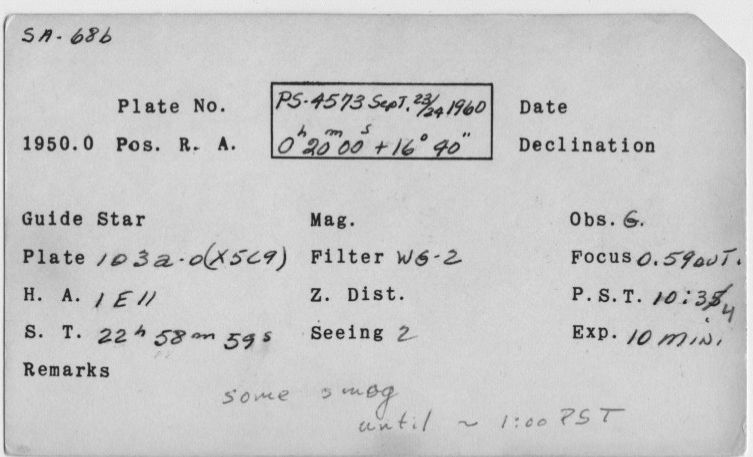
| Link (43 kiB) | Index card for this observation | #documentation ivo://org.gavo.dc/~?plts/data/1960Sep_PLS/04573_1.fits |
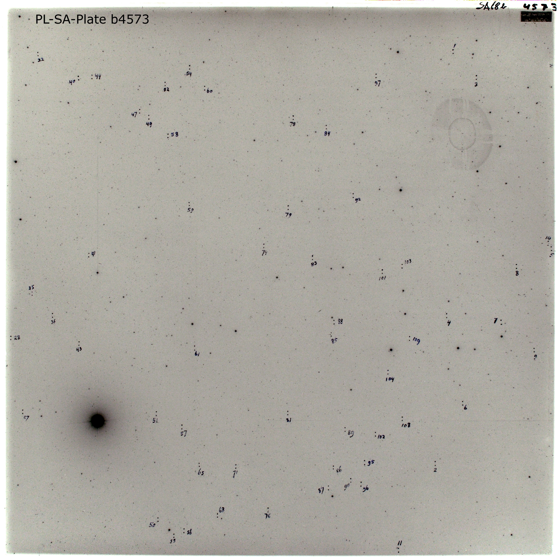
| Link (2 MiB) | Plate photos with original marks by van Houten (before cleaning). | #documentation ivo://org.gavo.dc/~?plts/data/1960Sep_PLS/04573_1.fits |
| (Form) | This service lets you access cutouts from the Palomar/Leiden Trojan plates and retrieve scaled versions. | #proc ivo://org.gavo.dc/~?plts/data/1960Sep_PLS/04573_1.fits |
| Link (1 GiB) | The full dataset. | #this ivo://org.gavo.dc/~?plts/data/1960Sep_PLS/04573_1.fits |
| Link | A preview for the dataset. | #preview ivo://org.gavo.dc/~?plts/data/1960Sep_PLS/04573_1.fits |